Routeburn TrackTravel & Exploration

Last update 14 h. agoCreated on the 17th of May 2026
LOADING COORDINATES...
Duration
~9.6 hours
Distance
33.8 km
Elevation gain
700 m
Difficulty
T2 — moderate mountain hike
High point
1326 m
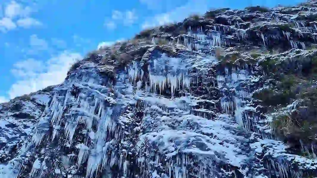
Alpine Crossing of Two Parks
A 32 km Great Walk that stitches together Mount Aspiring and Fiordland National Parks in two or three days. Above the bushline at Harris Saddle the track opens onto enormous views over the Hollyford Valley and the Darran Mountains.
It is a point to point walk, so arrange transport between the Routeburn Shelter and The Divide ends before you book huts when the DOC system opens in early July.