
Reading the Sky
Reading the Sky
You do not need an app to forecast the next few hours. You need to look up and know four shapes. This is a field guide to the clouds that matter, what they are made of, and what each one is quietly telling you about the weather on its way.

Cumulus
Fluffy and flat bottomed on a fair day. Harmless alone, but watch if they pile upward through the afternoon.

Stratus
A low grey blanket over everything. Expect drizzle and a dull still day, rarely a real storm.

Cirrus
Thin icy streaks high up. Often the first sign that a warm front and rain are a day or so away.
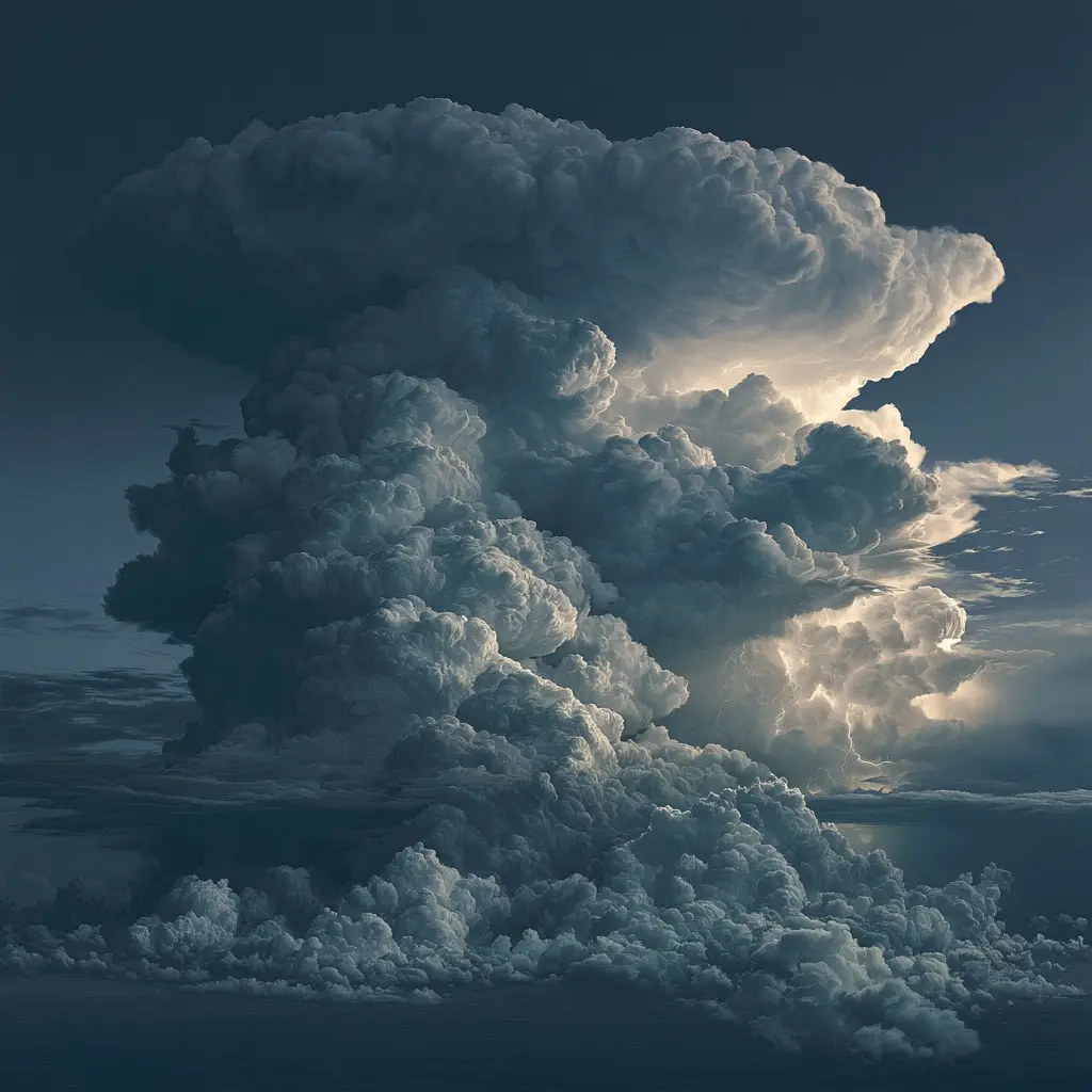
Cumulonimbus
The anvil topped giant. When you see one building, hail, lightning and a downpour are close.
Cirrus altitude
above 6000 m
Cumulus base
around 1000 m
Stratus warning
hours, not days
Cumulonimbus reach
up to 12000 m
A quick rule. Clouds getting lower and thicker through the day mean weather is coming. Clouds lifting and thinning mean it is clearing.