Nepal-Tibet 2026: When the Mountain Fell
Confirmed dead (Nepal)
469
Total missing (Nepal + Tibet)
1,300+
Foreign nationals missing
600+, inc. 65 Americans
Time for river to rise 9 metres
30 minutes
Bridges destroyed
at least 19
Roads washed away
~40 km (25 miles)
A 7,000-foot Fall in 30 Seconds
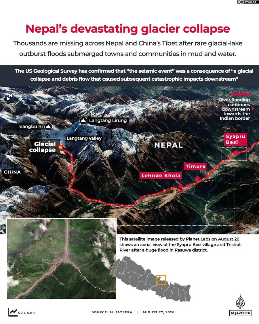
At 8:40 in the morning on August 26, 2026, a chunk of glacier broke away from Langtang Lirung peak on the Nepal-Tibet border and fell roughly 1,200 metres onto the valley floor. The mass of ice and bedrock was large enough that its impact registered as a magnitude 5.2 event on seismometers as far away as Germany. Early reports wrongly attributed the signal to an earthquake. Scientists at the U.S. Geological Survey corrected the record within hours: the collapse caused the tremor, not the other way around. The falling ice blocked the Lhende River in Tibet, about 20 kilometres northeast of the Nepal border. When the dam gave way, a wall of water, rock, and mud tore south through the Bhote Koshi and into the Trishuli River system. River gauges at Syapru Besi recorded a 9-metre rise in 30 minutes. Geomorphologists Kristen Cook and Dan Shugar, reviewing Planet Labs satellite imagery, confirmed on Thursday that the bedrock underneath the glacier had failed first, taking the ice with it.
469 Dead. 1,300 Missing. The Search Continues.
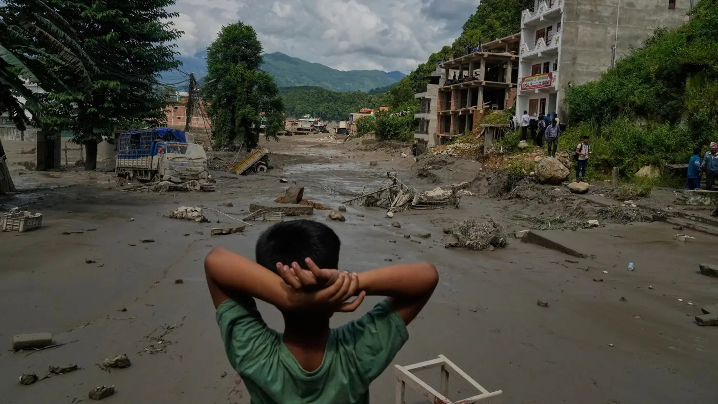
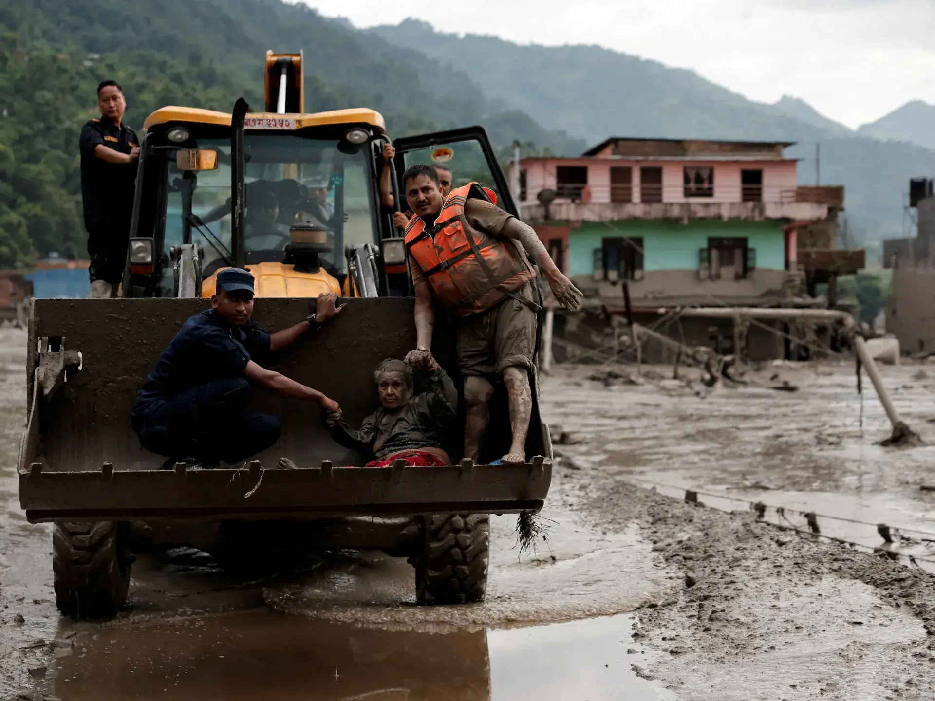
By Friday morning, 469 people were confirmed dead in Nepal, with a further 3 dead and 558 missing on the Chinese side in Gyirong County. More than 600 of the missing were foreign nationals, 65 of them American. The flood travelled 72 kilometres of valley, burying the villages of Syapru Besi, Timure, and communities downstream through Nuwakot and Dhading. At least 19 bridges and 40 kilometres of road were destroyed, cutting off hundreds of communities. The youngest confirmed victim was 14 months old. Chinese Premier Li Qiang flew to the disaster area. Nepalese Prime Minister Balendra Shah visited Rasuwa district. Over 5,000 army and police personnel searched by foot and helicopter, hampered by wrecked roads, bad weather, and rolling debris aftershocks. Bodies were later recovered as far south as Chitwan and Gorkha, hundreds of kilometres from the initial collapse.
The Third Pole Is Losing Ice Faster Than Ever Before
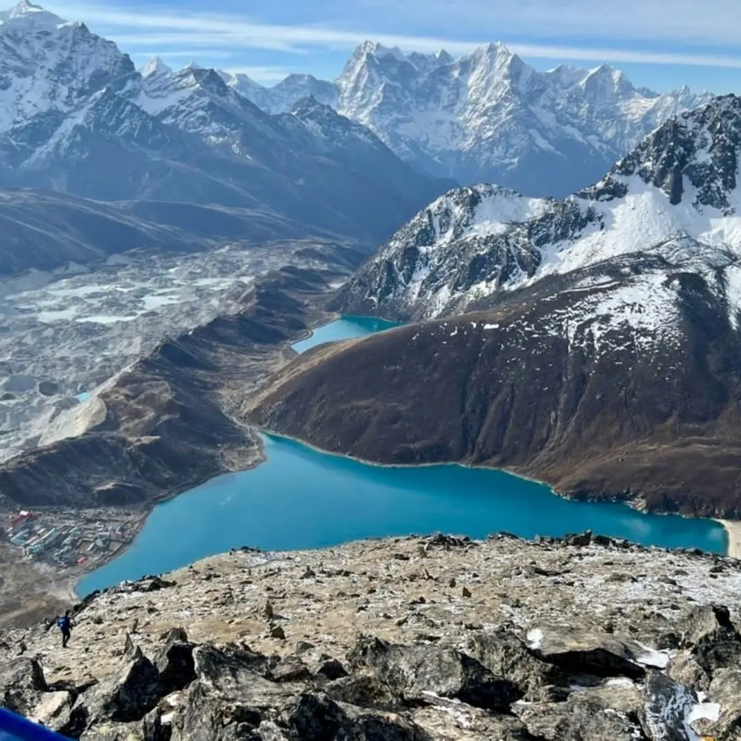
The Hindu Kush Himalayan range holds the largest concentration of glacial ice outside the polar regions. Scientists call it the Third Pole. It is warming at roughly twice the global average rate. Glaciers here lost ice 65% faster between 2011 and 2020 than in the previous decade, per ICIMOD. Nepal's glaciers alone have shed one-third of their volume in three decades. Warmer temperatures melt ice from above and thaw the permafrost that anchors rock and ice from below. Alton Byers, of the Institute of Arctic and Alpine Research at the University of Colorado Boulder, described the effect: once permafrost thaws, a glacier is "like butter outside a refrigerator, it's going to lose its structural integrity." The bedrock under Langtang Lirung failed first. The ice followed. The August monsoon had already swollen the Trishuli. The valley amplified everything.
"There's no question that this event was made more likely because of climate change. Similar glacier hazards are occurring more frequently.
"Twila Moon. National Snow and Ice Data Center
A New Lake Is Forming Where the Glacier Fell
By Friday, Nepal's disaster authority was monitoring a second threat: a glacial lake forming at the collapse site, fed by melt water and debris dams. Authorities warned it was rising and could burst, sending a second surge downstream into communities already buried under the first flood. Rescue operations were expected to continue for weeks, with hundreds of villages still unreachable by road and helicopter landings constrained by persistent cloud cover.