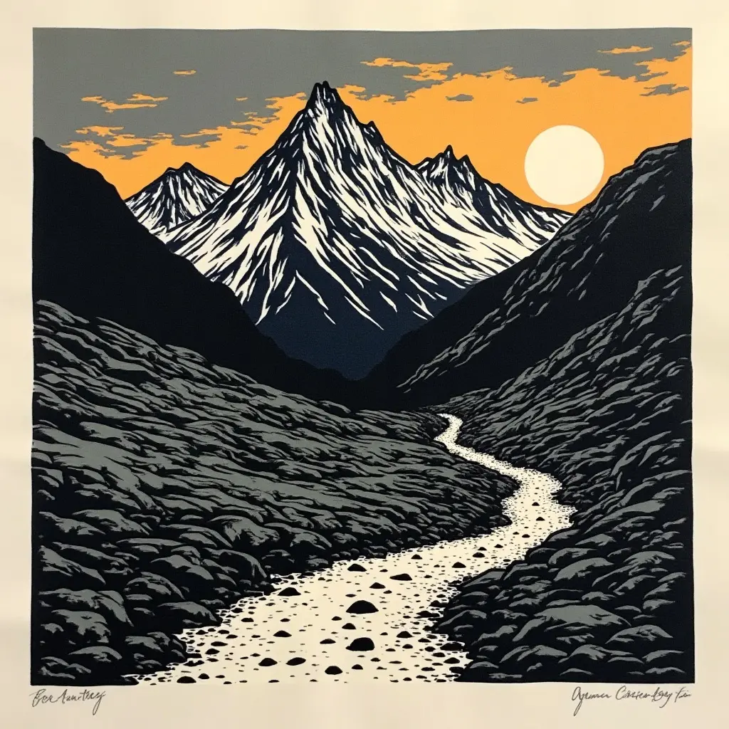
Ben Nevis Mountain Track
Duration
~7.5 hours return
Distance
17 km return
Elevation gain
1350 m
Difficulty
Strenuous
Summit
1345 m
The Roof of Britain
Ben Nevis is the highest point in the British Isles and the Mountain Track is the path most walkers take, a relentless climb from the floor of Glen Nevis to a wide stony summit plateau. The route is long rather than technical, but the top is in cloud most days of the year and the summit edges drop into the cliffs of the north face. Navigation off the top in poor visibility is the real challenge.
Start from the visitor centre car park in Glen Nevis. Allow a full day and start early, the summit weather is rarely the same as the valley.
The summit plateau is ringed by cliffs and gullies. In cloud you must navigate carefully by compass, several people get lost here every year.